

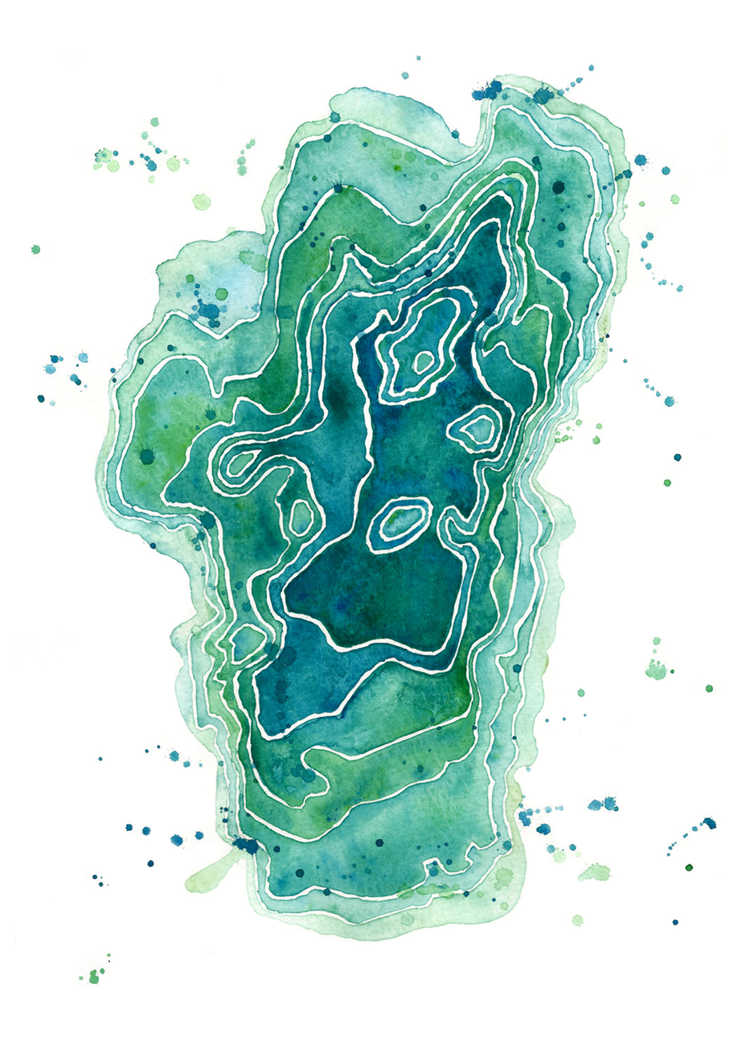
The lines represent the topography of Lake Tahoe. The deepest part being near crystal Bay at 1,645 feet!
Greeting Card - 5x7 - Blank Inside
Watercolor Paper Print - 11x14
Canvas - 16x20 (x .75")
The lines represent the topography of Lake Tahoe. The deepest part being near crystal Bay at 1,645 feet!
Greeting Card - 5x7 - Blank Inside
Watercolor Paper Print - 11x14
Canvas - 16x20 (x .75")